

How AIS 140 Telematics Data is Shaping the Future of Toll Collection and Smart Highways
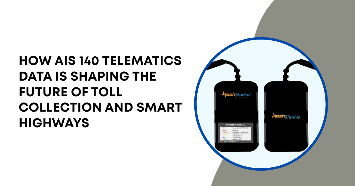
Modern transport infrastructure relies on advanced telematics to manage increasing traffic volumes and improve operational efficiency. The growing adoption of connected vehicle technologies has transformed how authorities monitor highways, toll plazas, and commercial fleets. AIS 140-compliant tracking systems play a crucial role by transmitting standardized vehicle location and status data to centralized monitoring platforms. An AIS 140 Standard GPS Tracker enables real-time visibility, while an industrial GPS Tracker supports large-scale fleet management with enhanced reliability. By integrating regulated tracking devices across transportation networks, authorities can improve road safety, streamline toll operations, optimize traffic flow, and support the development of intelligent transportation ecosystems.
Technical Features of Certified Tracking Modules
Regulatory telemetry demands superior device performance parameters under variable environmental conditions. Certified GPS Tracker modules must operate flawlessly during extended long-haul operations across remote geographical regions while maintaining continuous connectivity and accurate positioning.
The standard defines exact design rules for internal component architectures:
1. Dual Network Connectivity: Every GPS Tracker incorporates an integrated electronic SIM card containing two distinct telecom carrier profiles. This prevents data dropouts when moving through severe cellular signal blind spots.
2. Multi-Constellation Receivers: The GPS Tracker hardware processes signals from Global Navigation Satellite Systems alongside the localized Indian Regional Navigation Satellite System. This pairing maintains positioning accuracy within 2.5 meters.
3. Integrated Backup Power: Internal lithium batteries provide up to six hours of standalone operational life if primary vehicle power drops, ensuring uninterrupted GPS Tracker functionality.
4. Robust Enclosures: The outer casing of the GPS Tracker meets strict IP67 dustproof and waterproof industrial resilience certification standards for reliable operation in harsh environments.
Evolution of Highway Toll Architectures
Traditional toll collection frameworks rely on physical infrastructure to process vehicle payments. These setups generate substantial operational expenses and cause significant traffic queues.
1. Manual Cash Collection Points
Manual payment stands represent the oldest toll system generation. Drivers must bring vehicles to a complete stop to hand cash to an operator. This physical process creates severe congestion zones during peak travel hours.
2. Passive RFID Decals
Radio Frequency Identification strips improve transit times by scanning stickers attached to vehicle windshields. The lane controller reads the unique identification number as the vehicle drives through the gate area. However, this method requires dedicated gantries at fixed intervals. If a vehicle scanner fails to read a scratched sticker, the mechanical barrier remains closed.
3. GNSS Distance-Based Charging
Satellite-based tolling eliminates physical collection gates entirely. The system utilizes virtual boundaries known as geofences mapped over highway coordinates. The onboard tracking unit calculates the precise entry and exit timestamps for specific highway segments. The cloud server processes the distance data to deduct the exact toll amount from the linked wallet.
Technical Architecture of GPS Toll Platforms
Implementing distance-based tolling requires seamless integration between vehicle hardware and cloud processing architectures. The system processes millions of location data strings every second without compromising individual data integrity.
1. Data Capture Layer
The onboard telematics module acts as the primary data generation node. The module calculates positioning data at precise one-second intervals. The processor converts these physical data metrics into compressed binary payloads to minimize cellular bandwidth consumption. The hardware wraps the data in secure protocols before initiating cellular data transfers.
2. Secure Network Transport
The device sends information through private access point networks maintained by cellular providers. These dedicated connections establish isolated data tunnels across the internet.
The router forwards packets directly to the central transport servers. The gateway filters out unauthorized external connection requests to protect the internal data architecture.
3. Cloud Processing and Map Matching
The central toll engine receives incoming telemetry files via high-throughput messaging pipelines. The server passes the data through specialized map-matching algorithms.
These math models snap raw satellite coordinates directly onto precise digital maps of the highway network. The system calculates the exact physical path traveled by the truck. It filters out nearby local access roads to prevent incorrect billing events.
Configuring Edge Telematics Software
Achieving high accuracy in distance-based charging systems requires proper edge firmware settings. Standard tracking software cannot handle complex highway tolling tasks cleanly.
1. Dynamic Interval Adjustments
Constant high-speed data transmission drains battery power and generates large data storage requirements. Technicians configure smart variable polling rates inside the firmware:
-
Static Mode: The device transmits a heartbeat packet every ten minutes if the vehicle engine remains switched off.
-
Urban Mode: The system samples data every thirty seconds while traveling through standard city street grids.
-
Highway Toll Mode: The device increases sampling rates to once per second when entering active highway zones.
This multi-rate approach guarantees exact boundary identification when vehicles cross high-speed geofence markers.
2. Managing Local Cache Memory
Cellular networks occasionally drop connections along mountainous mountain passes or deep wilderness areas. The certified module must preserve data continuity during these drops. The system utilizes internal flash memory to cache up to 40,000 spatial records during network blackouts. When cellular service restores, the processor delivers the saved data to prevent missed toll logs.
Case Study: Golden Quadrilateral Freight Logistics
A major shipping line upgraded its national long-haul fleet to optimize transit performance across major industrial routes. The deployment focused on reducing delays across the high-traffic Golden Quadrilateral highway network.
1. Fleet Demands
The logistics company outlined clear performance goals for the technology transition:
-
Eradicate physical stops at regional border toll booths.
-
Prevent unauthorized route deviations by heavy freight drivers.
-
Achieve complete compliance with national transport regulations.
-
Maintain a continuous data stream across a 1200-kilometer path.
2. Implemented Infrastructure Component Array
The deployment utilized specialized hardware units to connect the fleet directly to regional tracking hubs:
|
Infrastructure Category |
Technical Hardware Specifications |
Units Deployed |
|
Telematics Module |
Certified NavIC Tracking Core with Dual Antennas |
450 Units |
|
Safety Component |
Dual-Input Mechanical Emergency SOS Button |
900 Units |
|
Storage Interface |
Industrial Grade 16GB MicroSD Cache Card |
450 Units |
|
Power Interface |
12V DC Transient Voltage Isolation Harness |
450 Units |
3. Operational Performance Metrics
The fleet integration project produced measurable efficiency improvements during its initial six-month testing phase:
-
Average trip transit times dropped by 14 percent due to automatic toll zone processing.
-
Fuel consumption patterns decreased by 8 percent by eliminating stop-and-start idling lines.
-
The local hardware data caches successfully preserved 100 percent of tracking histories during remote route transits.
-
Billing error disputes dropped below 0.1 percent across all automated geofenced corridors.
Troubleshooting Telematics Hardware Failures
Severe vibration, extreme seasonal heat, and electrical line surges create ongoing maintenance challenges on commercial trucks. Technicians follow strict analytical steps to fix connection issues.
1. Fixing Satellite Coordinate Drifts
Multipath interference occurs when satellite signals bounce off high concrete retaining walls or dense urban structures. This creates false location readings on the server side.
Technicians inspect the physical placement of the tracking module antenna. The antenna must maintain an unshielded view of the sky. It must sit away from heavy metallic cargo frames that block radio signals.
2. Correcting Data Packet Discontinuities
If a vehicle records missing road segments, engineers analyze internal power logs. Sudden engine start-up voltage drops can trip low-quality power supplies. The certified tracking framework requires internal voltage stabilizers to handle shifts from 9 volts up to 36 volts. Technicians replace damaged wiring harnesses to stop unexpected device reboots.
3. Resolving SIM Card Authentication Drops
High cabin vibration can cause standard plastic SIM slots to lose contact points over time. This loss drops the device off the cellular network. Certified hardware avoids this problem by soldering an embedded M2M SIM directly onto the circuit board. If authentication drops persist, technicians use over-the-air firmware adjustments to switch the primary carrier routing profile.
Long-Term Benefits for Smart Highway Networks
Universal telematics integration provides highway operators with valuable data insights that go far beyond simple fee collection. This structured data allows agencies to manage regional infrastructure dynamically.
1. Dynamic Traffic Volume Routing
Central highway servers calculate average transit speeds by aggregating real-time velocity metrics from thousands of tracking devices. If speeds drop on a specific bridge, the system identifies the backup instantly. Digital highway signs can warn oncoming drivers to select alternate bypass routes.
2. Predictive Road Maintenance Strategies
Heavy commercial trucks strain asphalt surfaces, creating deep ruts and pavement cracks over time. Telematics software tracks the total volume of multi-axle trucks crossing specific highway links. Highway departments use this load data to schedule preventative repaving work before dangerous potholes form.
Conclusion
Transitioning to automated distance-based charging systems establishes a highly efficient framework for modern highway management. Integrating an AIS 140 Standard GPS Tracker into commercial vehicle fleets guarantees reliable data streams for regional transportation authorities. This regulated framework provides superior structural resilience compared to any uncertified consumer tracking unit.
Deploying a certified GPS Tracker infrastructure allows regional operators to replace slow physical toll booths with virtual geofenced transit corridors. These advanced modules withstand extreme physical environments while maintaining secure, end-to-end data encryption.
As industrial transport requirements expand globally, automated data validation remains essential for highway optimization. Utilizing a standardized vehicle networking backbone ensures that smart highways maintain high average transit speeds while lowering overall logistics costs.